 Librería Samer Atenea
 Kálamo Books
 Librería Elías (Asturias)
 Librería Kolima (Madrid)
 Librería Proteo (Málaga)
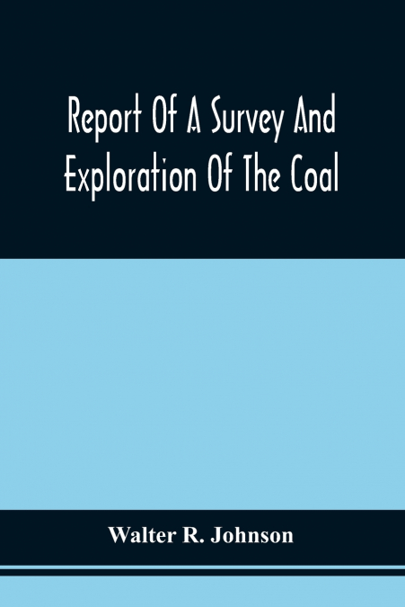
Before the furnaces and railways reshaped Pennsylvania, the ground had to be read. Rocks, routes, seams, and stakes.In this detailed geological survey report, Walter R. Johnson records a coal company land survey of the Allegheny Coal Company’s holdings in Somerset County, Pennsylvania, presenting a clear mining exploration report grounded in observation and measurement. The work brings together illustrated maps and sections, profiles, and practical descriptions that help you visualise the structure of the hills and the placement of coal and ore deposits. As a mineral resource assessment from nineteenth century Pennsylvania, it captures the language and priorities of early industrial development while remaining surprisingly legible to modern readers interested in appalachian coal basin geology. Curious about how seams were traced, you will find a grounded account of surveying practice and early American industrial geology, shaped by fieldwork and calculation.Valued as both a mining history reference and an archival geology reference, this volume preserves a snapshot of how land, capital, and science met at the edge of expansion. Industrial era mining maps and sectional views offer collectors and researchers alike a tangible connection to the period’s methods, from property-scale interpretation to regional inference. Out of print for decades and now republished by Alpha Editions. Restored for today’s and future generations. More than a reprint - a collector’s item and a cultural treasure. Whether you dip in for local history, consult it for fieldwork context, or shelve it beside classic American earth-science titles, it rewards careful browsing and close study.