Mapping and the Citizen Sensor

Mapping and the Citizen Sensor

Mapping and the Citizen Sensor


68,03 €
IVA incluido
Disponible
Editorial:
Ubiquity Press
Año de edición:
2017
Materia
Geografía
ISBN:
9781911529163
68,03 €
IVA incluido
Disponible

Selecciona una librería:

  • Donde los libros
  • Librería 7artes
  • Librería Elías (Asturias)
  • Librería Kolima (Madrid)
  • Librería Proteo (Málaga)

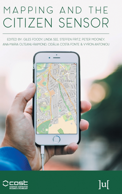
Maps are a fundamental resource in a diverse array of applications ranging from everyday activities, such as route planning through the legal demarcation of space to scientific studies, such as those seeking to understand biodiversity and inform the design of nature reserves for species conservation. For a map to have value, it should provide an accurate and timely representation of the phenomenon depicted and this can be a challenge in a dynamic world. Fortunately, mapping activities have benefitted greatly from recent advances in geoinformation technologies. Satellite remote sensing, for example, now offers unparalleled data acquisition and authoritative mapping agencies have developed systems for the routine production of maps in accordance with strict standards. Until recently, much mapping activity was in the exclusive realm of authoritative agencies but technological development has also allowed the rise of the amateur mapping community. The proliferation of inexpensive and highly mobile and location aware devices together with Web 2.0 technology have fostered the emergence of the citizen as a source of data. Mapping presently benefits from vast amounts of spatial data as well as people able to provide observations of geographic phenomena, which can inform map production, revision and evaluation. The great potential of these developments is, however, often limited by concerns. The latter span issues from the nature of the citizens through the way data are collected and shared to the quality and trustworthiness of the data. This book reports on some of the key issues connected with the use of citizen sensors in mapping. It arises from a European Co-operation in Science and Technology (COST) Action, which explored issues linked to topics ranging from citizen motivation, data acquisition, data quality and the use of citizen derived data in the production of maps that rival, and sometimes surpass, maps arising from authoritative agencies.

Artículos relacionados

  • E-Learning for Geographers
    Technological advances have created the ability to put lectures, tutorials, and student activities online for academic instructors. However, for most teachers, especially those accustomed to traditional delivery methods, this creates a daunting task that involves radical re-skilling and effort. E-Learning for Geographers: Online Materials, Resources, and Repositories draws less...
    Disponible

    255,96 €

  • Tourism and Indigeneity in the Arctic
    This is the first book to exclusively address tourism and indigenous peoples in the circumpolar North. It examines how tourism in indigenous communities is influenced by academic and political discourses and how communities are influenced by tourism. The volume seeks to challenge stereotypical understandings of indigenousness and indigeneity. ...
    Disponible

    193,92 €

  • Geographie Information und Technologie
    Hossein Gholami / Maryam Marani-Barzani / Shahide Dehghan
    In den letzten Jahrzehnten hat die geografische Informationstechnologie weite Verbreitung und Anwendung in vielen Arten von Organisationen gefunden und in verschiedenen Bereichen der Gesellschaft große Aufmerksamkeit erlangt. Es werden die wichtigsten Triebkräfte und Anwendungen der geografischen Informationstechnologie in Organisationen ermittelt und ein Überblick über die Anw...
    Disponible

    61,57 €

  • Géographie, information et technologie
    Hossein Gholami / Maryam Marani-Barzani / Shahide Dehghan
    Au cours des dernières décennies, les technologies de l’information géographique se sont répandues et sont devenues applicables dans de nombreux types d’organisations et ont suscité une grande attention dans différents secteurs de la société. Identifier les principaux moteurs et applications de la technologie de l’information géographique dans les organisations et fournir une v...
    Disponible

    61,57 €

  • Geografia Informação e Tecnologia
    Hossein Gholami / Maryam Marani-Barzani / Shahide Dehghan
    Nas últimas décadas, a tecnologia da informação geográfica generalizou-se e tornou-se aplicável em muitos tipos de organizações e ganhou uma grande atenção em diferentes sectores da sociedade. Identificar os principais factores e aplicações da tecnologia de informação geográfica nas organizações e fornecer uma panorâmica das aplicações da tecnologia de informação geográfica nos...
    Disponible

    61,51 €

  • География Информация и технологии
    Марям Марани-Барзани / Хоссеин Гхолами / Шахиде Дехгхан
    В последние десятилетия геоинформационные технологии получили широкое распространение и стали применяться во многих типах организаций и привлекли к себе широкое внимание в различных секторах общества. Определяются основные движущие силы и области применения географических информационных технологий в организациях, а также дается обзор применения географических информационных тех...
    Disponible

    61,63 €