

 Librería Samer Atenea
 Kálamo Books
 Librería Elías (Asturias)
 Librería Kolima (Madrid)
 Librería Proteo (Málaga)
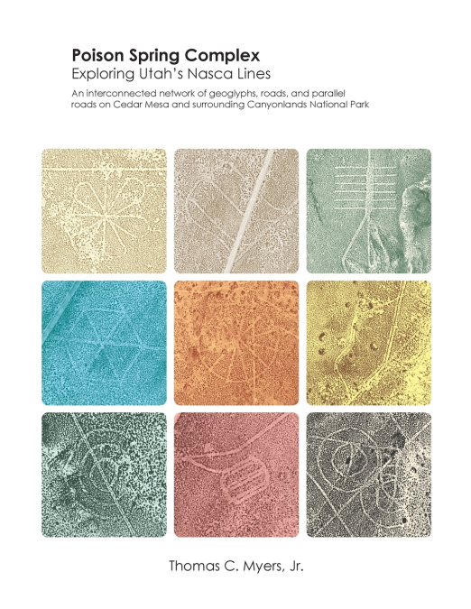
A Rigorous Spatial and Archaeoastronomical Analysis of a Massive Prehistoric Geoglyph and Parallel Road Network in Southeastern Utah.Sometime within the terminal Late Archaic to Early Formative periods, an extraordinary regional mobilization of human labor constructed a vast, unified network of geoglyphs, parallel roads, and linear features across a 5,500 km² area of present-day Utah. Poison Spring Complex: Exploring Utah’s Nasca Lines presents the first comprehensive macro-level design survey and spatial investigation into this remarkably sophisticated archaeological phenomenon spanning Cedar Mesa and the northern periphery of Canyonlands National Park.While comparable in scale to the world’s premier ancient earthworks, these features were uniquely executed by the selective removal of slow-to-regenerate desert vegetation. This book formally introduces the term 'floraglyphs' to describe this unique method of landscape manipulation, providing a definitive framework for identifying, documenting, and protecting these vulnerable, satellite-visible cultural resources.Utilizing GIS-mapped complexes, satellite and lidar imagery, and quantitative analysis, this monograph evaluates 946 distinct geoglyphs distributed across a 5,500 km² landscape, integrated alongside over a hundred kilometers of highly linear parallel roads demonstrating a distinct architectural typology like those of the Chaco Phenomenon. This volume delivers a data-driven investigation into the metrology, geometry, archaeoastronomy, and potential functional purposes of the Complex.Key Scholarly and Spatial Investigations Detailed Inside:• Typology of Landscape Features: A quantitative breakdown of concentric circular geoglyphs, hatch forms, radial stars, hexagons, block and dart-shaped features, and complex geometric forms like 'wagon wheels' and 'flower' shapes across diverse topographical zones.• Statistical Metrology: An application of Broadbent’s quantum method to isolate hidden spatial intervals, identifying a primary ground-based spacing quantum (q = 60.1 m, c > 8) and secondary units linked to known Chaco and Mesa Verde units and human pacing intervals.• Archaeoastronomical Alignments: Rigorous evaluation of intentional azimuths mapping cardinal directions, lunar standstills, and prominent constellations (including Orion, Taurus, and the Pleiades) against chronological shifts from 100 CE to 1200 CE, with a peak alignment between 500 CE and 600 CE (Ruggles’ intentionality test, p = .0015 to .0066).• Inter-Cultural Territoriality: Assessment of the complex as a transitory environment and sacred landscape interface serving the Late Archaic, Fremont, and Ancestral Puebloan (Chacoan) populations with connections to modern Puebloan, Diné (Navajo), Ute, and Southern Paiute cultures.• Regional Landscape Integration: Analysis of the systemic and geometric correlations between the Poison Spring Complex alignments and the broader regional networks of the Chaco Phenomenon and Fremont Tradition.Richly supported by detailed, full color topographic maps, feature data tables (including inter-glyph distance and angle matrices), and comparative regional surveys, this work establishes a new and important addition to landscape archaeology in the American Southwest. It challenges existing paradigms surrounding pre-contact labor organization, spatial geometry, and indigenous cosmological engineering.An essential volume for archaeologists, cultural geographers, archaeoastronomers, and scholars specializing in the prehistory of the American Southwest and ancient landscape-scale engineering.