
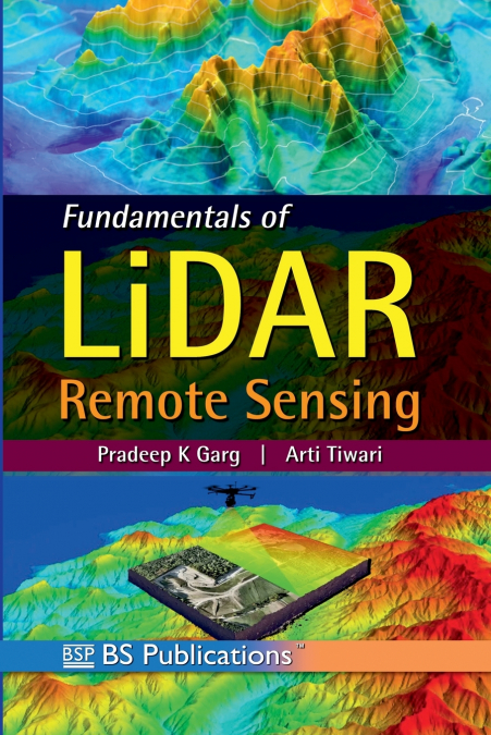

Fundamentals of LiDAR Remote Sensing

Fundamentals of LiDAR Remote Sensing

Arti Tiwari / Pradeep K Garg

74,74 €
IVA incluido
Disponible
Editorial:
BSP Books Pvt. LTD.
Año de edición:
2025
Materia
Ingeniería civil, topografía y construcción
ISBN:
9789349562233
74,74 €
IVA incluido
Disponible

Selecciona una librería:

  • Librería Samer Atenea

  • Kálamo Books
  • Librería Elías (Asturias)
  • Librería Kolima (Madrid)
  • Librería Proteo (Málaga)

'Fundamentals of LiDAR Remote Sensing' by P.K. Garg and Arti Tiwari is a thorough exploration of LiDAR technology, its principles, and its applications. The book covers the basics of LiDAR, including its components, systems, and data processing techniques, as well as its applications in various domains such as agriculture, forestry, urban planning, and autonomous vehicles. With a focus on providing a deep understanding of laser scanning and its data processing techniques, the book addresses theories and practices of information extraction from LiDAR data, including terrain surface generation, forest inventory, and 3D modeling. Written by experts in the field, this comprehensive book is an essential resource for students and professionals working in diverse disciplines, including geomatics, civil engineering, earth sciences, and computer science.
Artículos relacionados

  • Recent Advances in Remote Sensing for Crop Growth Monitoring
    Tao Cheng
    This special issue book gathers sixteen papers focusing on the application of remote sensing techniques to crop growth monitoring. The studies feature multi-scale and multi-source remotely sensed data, a combination of empirical and physical approaches, and a range of topics on crop growth parameters estimation and crop mapping. It is recommended to graduate students, professor...
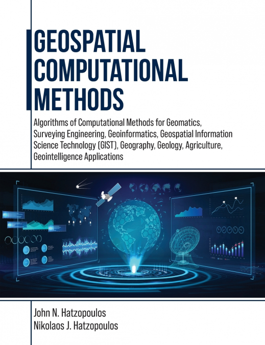
  • Geospatial Computational Methods
    John N. Hatzopoulos / Nikolaos J. Hatzopoulos
    This book is for students and professionals involved in Geospatial Computations and related areas such as Geomatics, Surveying Engineering, Geoinformatics, Geospatial Information Science and Technology (GIS&T), Geography, Geology, Agriculture, and Geointelligence. More emphasis is given to using scientific methods and tools materialized in algorithms and software to produce pra...
    Disponible

    136,80 €

  • Ethics, Machine Learning, and Python in Geospatial Analysis
    In geospatial analysis, navigating the complexities of data interpretation and analysis presents a formidable challenge. Traditional methods often need to efficiently handle vast volumes of geospatial data while providing insightful and actionable results. Scholars and practitioners grapple with manual or rule-based approaches, hindering progress in understanding and addressing...
  • Ethics, Machine Learning, and Python in Geospatial Analysis
    In geospatial analysis, navigating the complexities of data interpretation and analysis presents a formidable challenge. Traditional methods often need to efficiently handle vast volumes of geospatial data while providing insightful and actionable results. Scholars and practitioners grapple with manual or rule-based approaches, hindering progress in understanding and addressing...
    Disponible

    255,43 €

  • GEOPHYSICAL EXPLORATION TECHNOLOGY AND PRACTICE
    Jianxiong Li / Nanchang Kang / NANCHANG KANG JIANXIONG LI WEI ZHANG / Wei Zhang / ZHANG WEI
    The compendium summarizes the seismic exploration history, geophysical exploration technology progress, application and exploration results of foreland basins and foreland thrust belts in central and western China.The volume highlights the latest progress and exploration results of theories and methods in foreland thrust belts such as Kuqa in Tarim basin, Yingxiongling in Qaida...
  • Men of Blood
    Martin J. Wiener / Martin JWiener / Wiener Martin J.
    ...
    Disponible

    72,53 €