

Análise e mapeamento da salinidade do solo

Análise e mapeamento da salinidade do solo

Afework Mekeberiaw Worku

73,58 €
IVA incluido
Disponible
Editorial:
KS OmniScriptum Publishing
Año de edición:
2026
Materia
Ciencias de la tierra/geociencias
ISBN:
9786630031911
73,58 €
IVA incluido
Disponible

Selecciona una librería:

  • Librería Samer Atenea

  • Kálamo Books
  • Librería Elías (Asturias)
  • Librería Kolima (Madrid)
  • Librería Proteo (Málaga)

Este estudo aborda a análise e o mapeamento dos níveis de salinidade do solo na exploração agrícola de irrigação da plantação de cana-de-açúcar de Metehara. Procurou-se identificar as áreas afetadas pela salinidade através da interpretação visual, utilizando imagens compostas em cores reais e falsas. A partir da classificação supervisionada, foi mapeada uma área de 726 ha como altamente salina. No entanto, o resultado obtido a partir do NDSI não se limitou apenas à área, mas também ao nível de salinidade - altamente salina, moderadamente salina e ligeiramente salina -, determinado com base no valor de refletância. Da área total, 6% foram mapeados como altamente salinos. Uma análise de regressão entre os valores de CE de pequenas áreas confinadas apenas à plantação de cana-de-açúcar de Metehara e o valor de refletância correspondente na imagem NDSI revelou uma relação polinomial de segunda ordem. O modelo empírico obtido a partir da análise de regressão foi utilizado para derivar um mapa de salinidade e estimar o nível de CE. A distribuição espacial da área afetada pelo sal derivada do NDSI e do modelo apresentou um padrão semelhante, mas de extensão diferente. No modelo de salinidade sobreposto, foram identificadas quatro classes com graus variáveis de salinidade.

Artículos relacionados

  • Polarimetric SAR Techniques and Applications
    Carlos López-Martínez / Juan Manuel Lopez-Sanchez
    An increasing number of spaceborne Synthetic Aperture Radar (SAR) systems have been equipped with polarimetric capabilities: ALOS and ALOS-2, Radarsat-2, TerraSAR-X, Envisat-ASAR, Sentinel-1a/b, etc. Future mission will still present this type of diversity: RCM, SAOCOM, Cosmo-Skymed 2nd generation or PAZ. Polarimetry allows sensitivity to the structural and geometric properties...
    Disponible

    59,61 €

  • Innovative Strategies and Frameworks in Climate Change Adaptation
    Alexander G. Flor / Alexander GFlor / Benjamina Gonzalez Flor
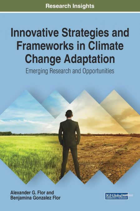
    The changes the earth is currently undertaking has been at the forefront of scientific discourse in recent years. Humans as a species have needed to react to these changes and shift their behavior accordingly. Innovative Strategies and Frameworks in Climate Change Adaptation: Emerging Research and Opportunities is a critical scholarly resource that examines the relationship bet...
  • Air Quality Monitoring and Forecasting
    Air quality is personal. Its management is highly so. Asthmatic or air-pollutant-sensitive individuals depend on accurate air quality forecasts to help manage their daily activities.  However, the adverse effects of poor air quality on public health and visibility extend far beyond the daily time horizon. Pneumonic and cardiac vascular responses of individuals in all age groups...
    Disponible

    59,74 €

  • Application of Artificial Neural Networks in Geoinformatics
    Saro Lee
    Recently, a need has arisen for prediction techniques that can address a variety of problems by combining methods from the rapidly developing field of machine learning with geoinformation technologies such as GIS, remote sensing, and GPS. As a result, over the last few decades, one particular machine learning technology, known as artificial neural networks, has been successfull...
    Disponible

    59,81 €

  • Coastal Sea Levels, Impacts and Adaptation
    Extreme sea levels can lead to hazardous events, such as coastal flooding, erosion, or salt water intrusion, with-wide ranging environmental, societal, and economic consequences. In combination with climate-driven sea-level rise, and, potentially, additional changes in storminess, dynamic wave contributions, and tidal dynamics, the adverse consequences of extreme oceanographic ...
    Disponible

    75,97 €

  • Application of Plant Biotechnology in Forestry
    The aim of this reprint is to immerse the reader in the latest biotechnological approaches employed in forestry. From rejuvenation through clonal propagation to somatic embryogenesis, the cryopreservation of germplasm, and the use of molecular techniques and genetic engineering, we aim to unravel the potential and promise of these cutting-edge technologies. In this reprint, lea...

Otros libros del autor

  • Analyse et cartographie de la salinité des sols
    Afework Mekeberiaw Worku
    Cette étude porte sur l’analyse et la cartographie des niveaux de salinité des sols dans la plantation de canne à sucre irriguée de Metehara. Une tentative a été faite pour identifier les zones affectées par la salinité par interprétation visuelle à l’aide d’images composites en couleurs réelles et en fausses couleurs. La classification supervisée a permis de cartographier une ...
    Disponible

    73,58 €

  • Analyse und Kartierung des Salzgehalts im Boden
    Afework Mekeberiaw Worku
    Diese Studie befasst sich mit der Analyse und Kartierung des Salzgehalts im Bewässerungsgebiet der Zuckerrohrplantage Metehara. Es wurde versucht, salzbelastete Gebiete durch visuelle Auswertung unter Verwendung von Echt- und Falschfarbenkompositbildern zu identifizieren. Anhand der überwachten Klassifizierung wurden 726 ha als stark salzbelastet kartiert. Das anhand des NDSI g...
    Disponible

    73,58 €

  • Analisi e mappatura della salinità del suolo
    Afework Mekeberiaw Worku
    Questo studio verte sull’analisi e la mappatura dei livelli di salinità del suolo nell’azienda agricola irrigua della piantagione di canna da zucchero di Metehara. Si è cercato di identificare le aree colpite dalla salinità mediante interpretazione visiva, utilizzando sia compositi a colori reali che a falsi colori. Dalla classificazione supervisionata, un’area di 726 ettari è ...
    Disponible

    73,58 €

  • Analiza i mapowanie zasolenia gleby
    Afework Mekeberiaw Worku
    W niniejszym badaniu zajęto się analizą i kartografią poziomów zasolenia gleby na nawadnianym terenie plantacji trzciny cukrowej w Metehara. Podjęto próbę zidentyfikowania obszarów dotkniętych zasoleniem poprzez interpretację wizualną z wykorzystaniem zarówno kompozycji w kolorach rzeczywistych, jak i fałszywych. W wyniku klasyfikacji nadzorowanej obszar o powierzchni 726 ha zo...
    Disponible

    73,58 €