LIBROS DEL AUTOR: sanborn maps

88 resultados para LIBROS DEL AUTOR: sanborn maps

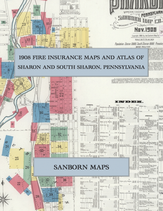
  • 1908 Fire Insurance Maps and Atlas of Sharon and South Sharon, Pennsylvania
    Sanborn Maps
    Facsimile of the 1908 Sanborn fire-insurance atlas of Sharon and South Sharon, Pennsylvania, reproduced in full color from the Library of Congress copy. It covers the Mercer County steel town of 13,000 people on the Shenango River at the Ohio line, from the stores, banks, hotels and opera house of State and Main Streets out along the Erie, Pennsylvania and Lake Shore railroads ...
    Disponible

    53,85 €

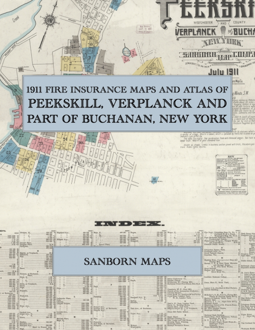
  • 1911 Fire Insurance Maps and Atlas of Peekskill, Verplanck and Part of Buchanan, New York
    Sanborn Maps
    Facsimile of the 1911 Sanborn fire-insurance atlas of Peekskill, Verplanck and part of Buchanan, New York, reproduced in full color from the Library of Congress copy. It covers the Westchester County village of 15,000 people on the Hudson River at the mouth of Peekskill Creek, from the stores, banks, hotels and theatre of Main, Division and South Streets out to the New York Cen...
    Disponible

    53,99 €

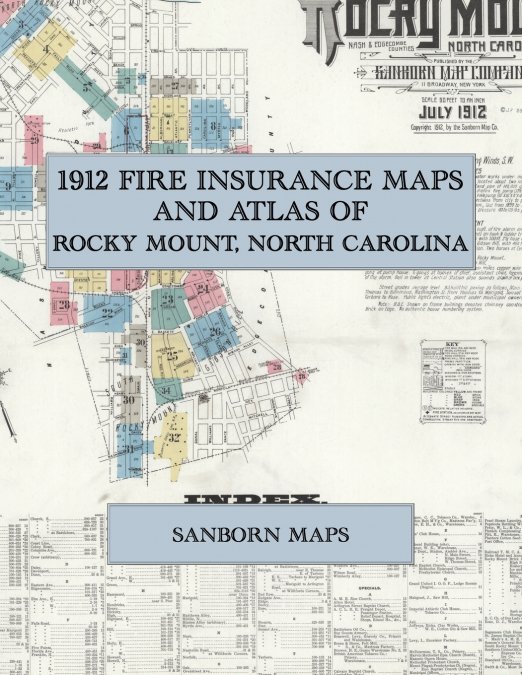
  • 1912 Fire Insurance Maps and Atlas of Rocky Mount, North Carolina
    Sanborn Maps
    Facsimile of the 1912 Sanborn fire-insurance atlas of Rocky Mount, North Carolina, reproduced in full color from the Library of Congress copy. It covers the whole Nash and Edgecombe County railroad town of 14,000 people, from the stores, banks and hotels of Main Street and Five Points and the tobacco warehouses and prizeries, through the Atlantic Coast Line shops and roundhouse...
    Disponible

    54,12 €

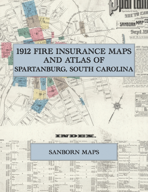
  • 1912 Fire Insurance Maps and Atlas of Spartanburg, South Carolina
    Sanborn Maps
    Facsimile of the 1912 Sanborn fire-insurance atlas of Spartanburg, South Carolina, reproduced in full color from the Library of Congress copy. It covers the Spartanburg County city of 18,000 people, from the stores, banks, hotels and theatre around Morgan Square and along Main and Church Streets, out along the Southern, the C. C. and O. and the C. and W. C. railroads to the Spa...
    Disponible

    54,27 €

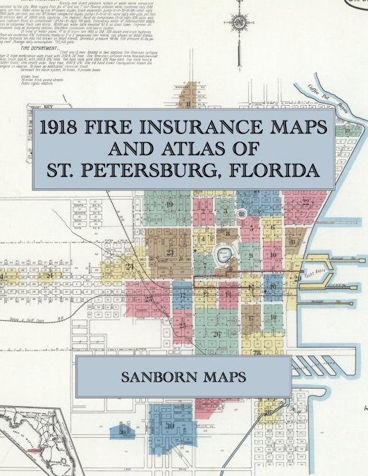
  • 1918 Fire Insurance Maps and Atlas of St. Petersburg, Florida
    Sanborn Maps
    Facsimile of the 1918 Sanborn fire-insurance atlas of St. Petersburg, Florida, reproduced in full color from the Library of Congress copy. It covers the Pinellas County resort city of 12,000 people in summer and 25,000 in winter, from the hotels, stores and banks of Central Avenue and the City Park out along the Atlantic Coast Line and the Tampa and Gulf Coast railroads to Mirr...
    Disponible

    54,40 €

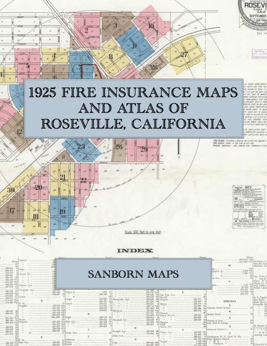
  • 1925 Fire Insurance Maps and Atlas of Roseville, California
    Sanborn Maps
    Facsimile of the 1925 Sanborn fire-insurance atlas of Roseville, California, reproduced in full color from the Library of Congress copy. It covers the whole Placer County railroad town of 6,300 people, from the old business blocks of Lincoln and Church Streets and the new stores, hotels and theatre of Vernon and Atlantic Streets out along the Southern Pacific freight yards to t...
    Disponible

    54,54 €

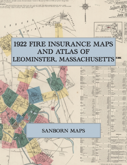
  • 1922 Fire Insurance Maps and Atlas of Leominster, Massachusetts
    Sanborn Maps
    Facsimile of the 1922 Sanborn fire-insurance atlas of Leominster, Massachusetts, reproduced in full color from the Library of Congress copy. It covers the Worcester County comb and celluloid city of 20,000 people on the Nashua River, from the stores, banks, halls and theatre of Monument Square, Main Street and Mechanic Street out along Monoosnock Brook and the railroads to the ...
    Disponible

    54,54 €

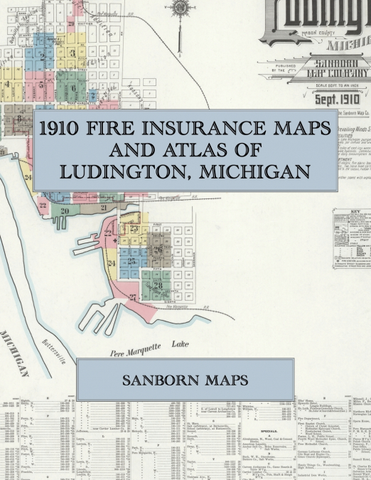
  • 1910 Fire Insurance Maps and Atlas of Ludington, Michigan
    Sanborn Maps
    Facsimile of the 1910 Sanborn fire-insurance atlas of Ludington, Michigan, reproduced in full color from the Library of Congress copy. It covers the whole Mason County city of 10,000 people between Lake Michigan and Pere Marquette Lake, from the stores, hotels and Court House of Ludington Avenue and James Street, through the salt works, lumber mills, docks and Pere Marquette ra...
    Disponible

    54,54 €

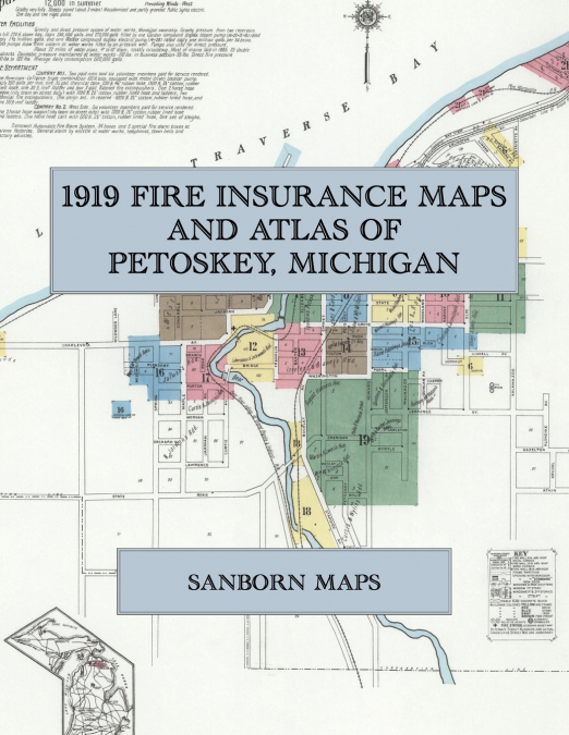
  • 1919 Fire Insurance Maps and Atlas of Petoskey, Michigan
    Sanborn Maps
    Facsimile of the 1919 Sanborn fire-insurance atlas of Petoskey, Michigan, reproduced in full color from the Library of Congress copy. It covers the Emmet County resort city of 6,000 people in winter and 12,000 in summer on Little Traverse Bay, from the stores, hotels and Court House of Lake and Mitchell Streets and the mills along the Bear River, out along the shore to Rosedale...
    Disponible

    54,54 €

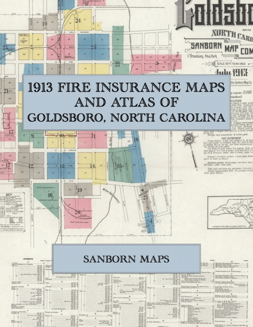
  • 1913 Fire Insurance Maps and Atlas of Goldsboro, North Carolina
    Sanborn Maps
    Facsimile of the 1913 Sanborn fire-insurance atlas of Goldsboro, North Carolina, reproduced in full color from the Library of Congress copy. It covers the whole Wayne County railroad town of 12,000 people, from the stores, hotels and Court House along Centre, Walnut and John Streets and the Southern, Atlantic Coast Line and Norfolk-Southern depots, through the cotton, lumber, b...
    Disponible

    54,54 €

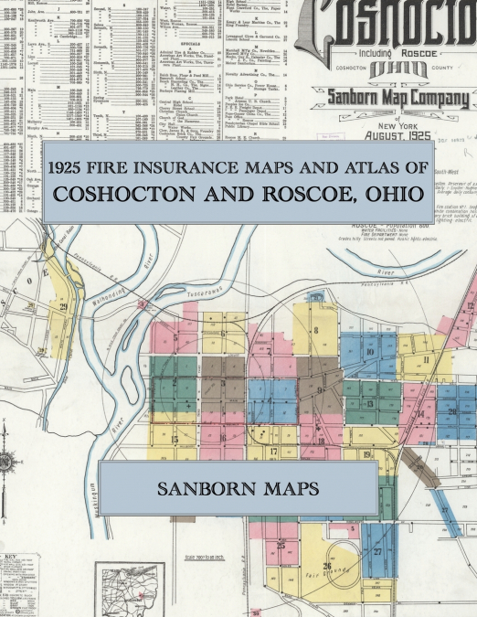
  • 1925 Fire Insurance Maps and Atlas of Coshocton and Roscoe, Ohio
    Sanborn Maps
    Facsimile of the 1925 Sanborn fire-insurance atlas of Coshocton and Roscoe, Ohio, reproduced in full color from the Library of Congress copy. It covers the Coshocton County seat of 12,000 people where the Walhonding and Tuscarawas meet to form the Muskingum, from the Court House square and the stores, banks and hotels of Main Street out along the Pennsylvania and Wheeling and L...
    Disponible

    54,54 €

  • 1908 Fire Insurance Maps and Atlas of Provo, Utah
    Sanborn Maps
    Facsimile of the 1908 Sanborn fire-insurance atlas of Provo, Utah, reproduced in full color from the Library of Congress copy. It covers the whole Utah County seat of 7,500 people on the Provo River, from the stores, hotels and Opera House of Center Street and Academy Avenue, the Tabernacle and the Court House, through the woolen mills, lumber yards, foundry and candy works and...
    Disponible

    54,54 €

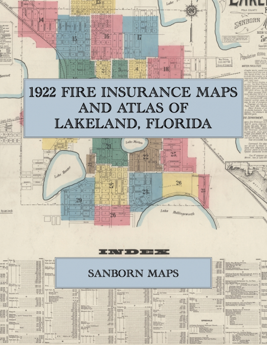
  • 1922 Fire Insurance Maps and Atlas of Lakeland, Florida
    Sanborn Maps
    Facsimile of the 1922 Sanborn fire-insurance atlas of Lakeland, Florida, reproduced in full color from the Library of Congress copy. It covers the Polk County city of 10,000 people, from the stores, banks, hotels and theatres around Munn Park and the Atlantic Coast Line passenger station out along the railroad to the citrus packing houses, lumber mills, iron works and phosphate...
    Disponible

    54,54 €

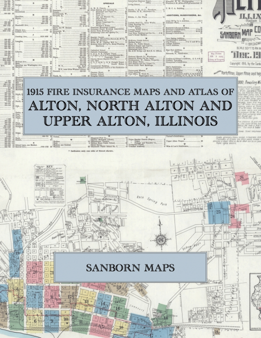
  • 1915 Fire Insurance Maps and Atlas of Alton, North Alton and Upper Alton, Illinois
    Sanborn Maps
    Facsimile of the 1915 Sanborn fire-insurance atlas of Alton, North Alton and Upper Alton, Illinois, reproduced in full color from the Library of Congress copy. It covers the Madison County river city of 27,000 people, from the stores, banks, hotels and theatres of Second, Third and Piasa Streets on the Mississippi River out along the railroads to the Illinois Glass Company work...
    Disponible

    54,54 €

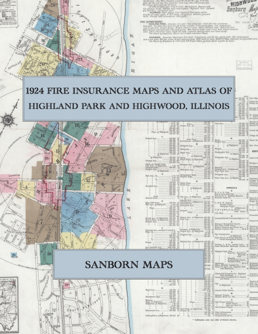
  • 1924 Fire Insurance Maps and Atlas of Highland Park and Highwood, Illinois
    Sanborn Maps
    Facsimile of the 1924 Sanborn fire-insurance atlas of Highland Park and Highwood, Illinois, reproduced in full color from the Library of Congress copy. It covers the Lake County city of 10,000 people on the North Shore of Lake Michigan and Highwood beside it, from the stores, banks, theatre and lodges of St. Johns Avenue, Central Avenue and Sheridan Road out along the Chicago a...
    Disponible

    54,54 €

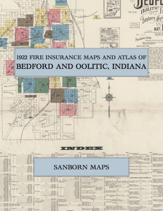
  • 1922 Fire Insurance Maps and Atlas of Bedford and Oolitic, Indiana
    Sanborn Maps
    Facsimile of the 1922 Sanborn fire-insurance atlas of Bedford and Oolitic, Indiana, reproduced in full color from the Library of Congress copy. It covers the Lawrence County seat of 12,000 people in the Indiana limestone country, from the Court House square and the stores, hotels and opera house round it, out along the Monon, Milwaukee and Baltimore & Ohio South Western railroa...
    Disponible

    54,54 €

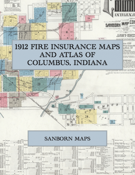
  • 1912 Fire Insurance Maps and Atlas of Columbus, Indiana
    Sanborn Maps
    Facsimile of the 1912 Sanborn fire-insurance atlas of Columbus, Indiana, reproduced in full color from the Library of Congress copy. It covers the whole Bartholomew County seat of 10,500 people on the White River, from the stores, hotels and Court House along Washington and Third Streets and the Big Four and Pittsburgh, Cincinnati, Chicago & St. Louis depots, through the engine...
    Disponible

    54,54 €

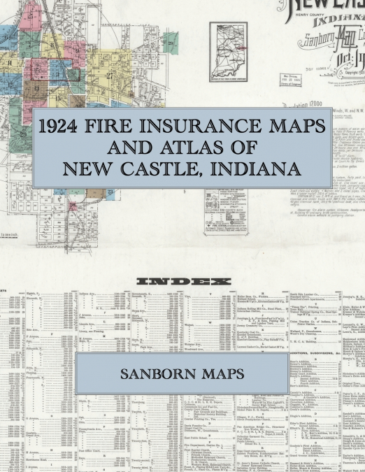
  • 1924 Fire Insurance Maps and Atlas of New Castle, Indiana
    Sanborn Maps
    Facsimile of the 1924 Sanborn fire-insurance atlas of New Castle, Indiana, reproduced in full color from the Library of Congress copy. It covers the whole Henry County seat of 17,000 people on the Blue River, from the Court House square and the stores, hotels and theatre of Broad and Main Streets, out along the Pittsburgh, Cincinnati, Chicago & St. Louis, Nickel Plate and Cleve...
    Disponible

    54,54 €

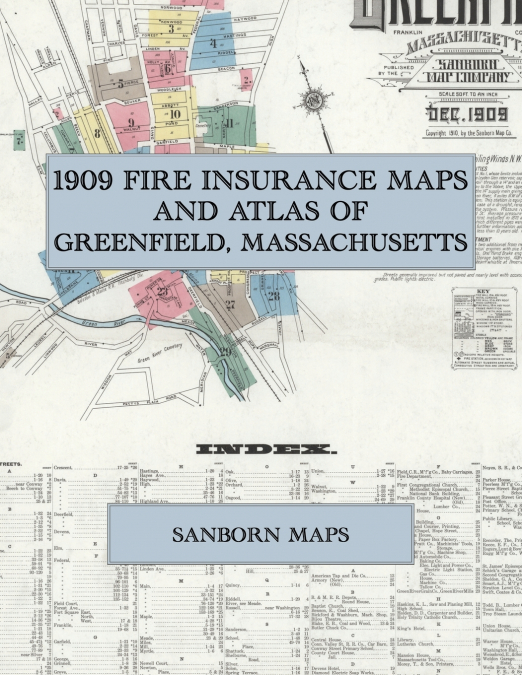
  • 1909 Fire Insurance Maps and Atlas of Greenfield, Massachusetts
    Sanborn Maps
    Facsimile of the 1909 Sanborn fire-insurance atlas of Greenfield, Massachusetts, reproduced in full color from the Library of Congress copy. It covers the Franklin County seat of 12,000 people on the Green River, from the Court House, Town Hall and the stores, banks and hotels of Main Street, Bank Row and Court Square out along the Boston and Maine Railroad to the tap and die, ...
    Disponible

    54,54 €

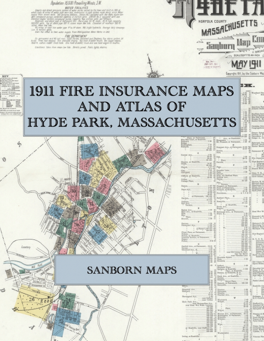
  • 1911 Fire Insurance Maps and Atlas of Hyde Park, Massachusetts
    Sanborn Maps
    Facsimile of the 1911 Sanborn fire-insurance atlas of Hyde Park, Massachusetts, reproduced in full color from the Library of Congress copy. It covers the whole Norfolk County town of 16,000 people along the Neponset River, from the stores, halls and banks of Everett Square and River Street through the machine works, rubber works, paper mills and railroad shops to the residentia...
    Disponible

    54,54 €

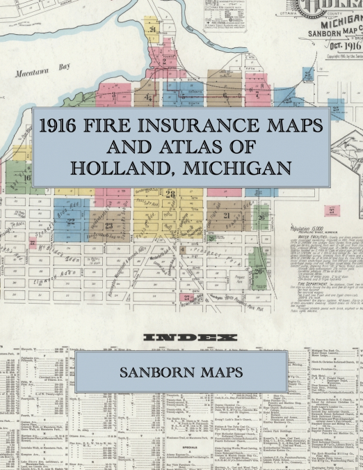
  • 1916 Fire Insurance Maps and Atlas of Holland, Michigan
    Sanborn Maps
    Facsimile of the 1916 Sanborn fire-insurance atlas of Holland, Michigan, reproduced in full color from the Library of Congress copy. It covers the whole Ottawa County city of 15,000 people at the head of Macatawa Bay, from the stores, banks and hotels of Eighth Street and River Avenue through the tanneries, furniture factories, furnace works and pickle factory on the bay and th...
    Disponible

    54,54 €

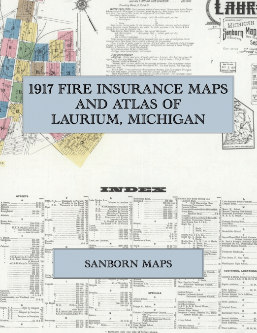
  • 1917 Fire Insurance Maps and Atlas of Laurium, Michigan
    Sanborn Maps
    Facsimile of the 1917 Sanborn fire-insurance atlas of Laurium, Michigan, reproduced in full color from the Library of Congress copy. It covers the Houghton County copper town and the mine locations around it, 20,000 people in all: the stores, hotels and halls of Hecla, Osceola and Third streets, the shaft houses, hoists, compressor houses, shops and warehouses of the Calumet & ...
    Disponible

    54,54 €

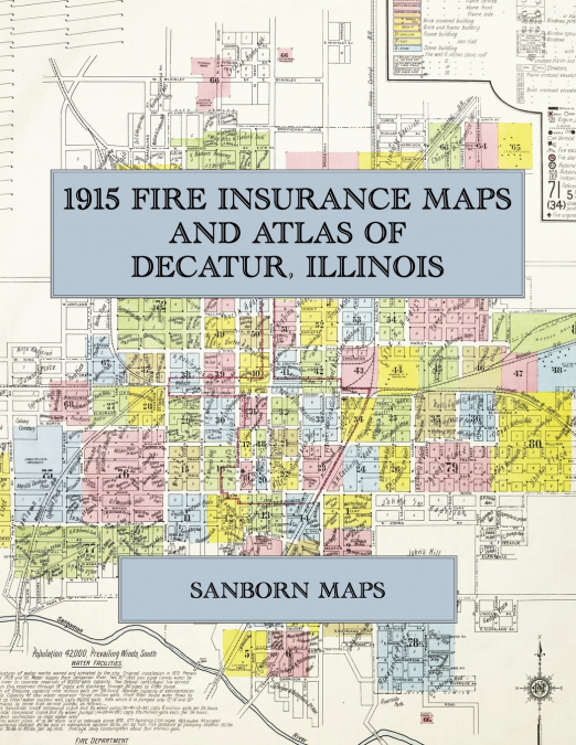
  • 1915 Fire Insurance Maps and Atlas of Decatur, Illinois
    Sanborn Maps
    Facsimile of the 1915 Sanborn fire-insurance atlas of Decatur, Illinois, reproduced in full color from the Library of Congress copy. It covers the whole city of 42,000 people, from the stores, banks, hotels and theatres around Lincoln Square and Central Park, through the Wabash, Illinois Central and Illinois Traction yards, the Staley starch works and the Wabash shops, to Milli...
    Disponible

    50,65 €

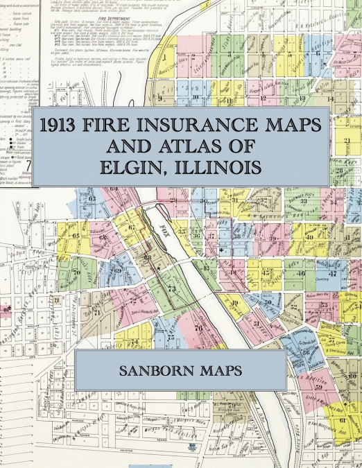
  • 1913 Fire Insurance Maps and Atlas of Elgin, Illinois
    Sanborn Maps
    Facsimile of the 1913 Sanborn fire-insurance atlas of Elgin, Illinois, reproduced in full color from the Library of Congress copy. It covers the whole city of 28,000 people on both banks of the Fox River, from the stores, banks and theatres of Chicago Street, Grove Avenue and Du Page Street, through the Elgin National Watch Company’s factory and the milk, butter, shoe and furni...
    Disponible

    50,65 €

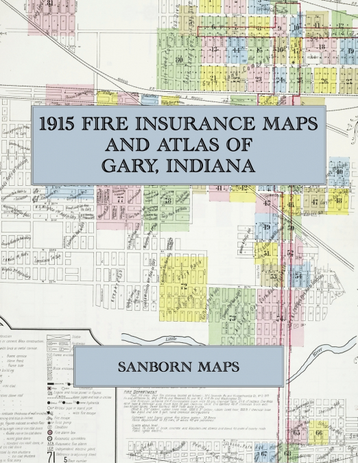
  • 1915 Fire Insurance Maps and Atlas of Gary, Indiana
    Sanborn Maps
    Facsimile of the 1915 Sanborn fire-insurance atlas of Gary, Indiana, reproduced in full color from the Library of Congress copy. It covers the whole new steel city of 30,000 people between the Grand and Little Calumet Rivers, from the stores, banks and hotels of Broadway and Washington Street and the Gary Land Company’s first subdivision, through the railroad depots and yards a...
    Disponible

    50,65 €

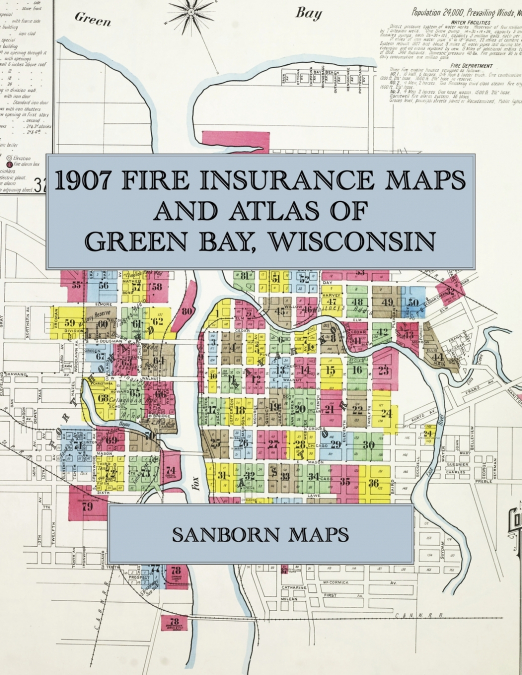
  • 1907 Fire Insurance Maps and Atlas of Green Bay, Wisconsin
    Sanborn Maps
    Facsimile of the 1907 Sanborn fire-insurance atlas of Green Bay, Wisconsin, reproduced in full color from the Library of Congress copy. It covers the whole city of 24,000 people on both banks of the Fox River, from the stores, hotels and Court House of Washington and Main Streets, through the railroad shops, breweries, paper mills, lumber yards and fish docks, to the residentia...
    Disponible

    50,65 €

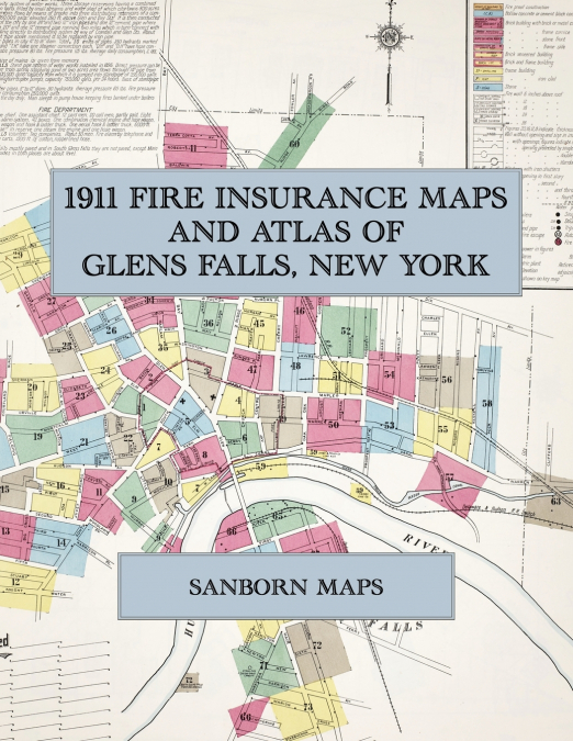
  • 1911 Fire Insurance Maps and Atlas of Glens Falls, New York
    Sanborn Maps
    Facsimile of the 1911 Sanborn fire-insurance atlas of Glens Falls, New York, reproduced in full color from the Library of Congress copy. It covers the whole city and the village of South Glens Falls across the Hudson, 20,000 people in all, from the stores, banks and hotels of Glen, Warren and Ridge Streets, through the paper, lime, cement and saw mills along the river and the F...
    Disponible

    50,78 €

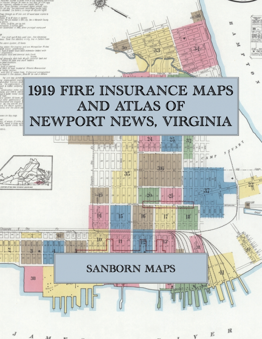
  • 1919 Fire Insurance Maps and Atlas of Newport News, Virginia
    Sanborn Maps
    Facsimile of the 1919 Sanborn fire-insurance atlas of Newport News, Virginia, reproduced in full color from the Library of Congress copy. It covers the whole city of 70,000 people, from the shipbuilding and dry-dock yard and the Chesapeake & Ohio coal piers on the James River, through the stores, hotels and theatres of Washington Avenue and the Army warehouses of the Port of Em...
    Disponible

    53,57 €

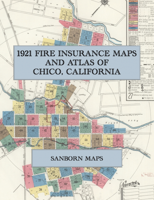
  • 1921 Fire Insurance Maps and Atlas of Chico, California
    Sanborn Maps
    Facsimile of the 1921 Sanborn fire-insurance atlas of Chico, California, reproduced in full color from the Library of Congress copy. It covers the whole city of 10,000 people on Big and Little Chico Creeks, from the stores, hotels and banks of Main Street and Broadway and the Southern Pacific depot, through the flour and rice mills, fruit-drying yards, packing houses and lumber...
    Disponible

    50,92 €

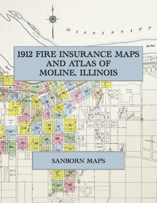
  • 1912 Fire Insurance Maps and Atlas of Moline, Illinois
    Sanborn Maps
    Facsimile of the 1912 Sanborn fire-insurance atlas of Moline, Illinois, reproduced in full color from the Library of Congress copy. It covers the whole city of Moline together with the city of East Moline and the village of Silvis - 41,300 people along the Mississippi - from the Deere, Velie and Williams White works on the Head Race and the stores of Fifth Avenue, through the R...
    Disponible

    50,92 €


01 02 03